The Earth's climate system is undergoing unprecedented transformations, with extreme weather events becoming both more frequent and intense. At the forefront of monitoring these changes are meteorological satellites—sophisticated orbital platforms equipped with advanced sensors that capture atmospheric dynamics in real time. These 'eyes in the sky' provide critical data for understanding how greenhouse gas emissions are reshaping weather patterns, from hurricanes intensifying over warmer oceans to heatwaves lingering longer over continental landmasses.
Since the launch of TIROS-1 in 1960, meteorological satellites have evolved from simple cloud imagers to multi-spectral observatories capable of measuring temperature, humidity, precipitation, and even atmospheric composition. Modern satellites like GOES-R and Sentinel-6 now deliver hyper-local data with minute-by-minute updates, enabling meteorologists to track storm development with unprecedented precision. This technological leap has transformed climate science, allowing researchers to quantify the link between rising global temperatures and the escalating severity of weather extremes.
The Satellite Revolution: Mapping Earth's Pulse from Space
Meteorological satellites operate in two primary orbits: geostationary and polar. Geostationary satellites, positioned 35,786 kilometers above the equator, remain fixed relative to Earth's surface, providing continuous monitoring of one hemisphere. This vantage point is crucial for tracking developing storms, as seen with NOAA's GOES series, which captures images every 30 seconds during severe weather events. Polar-orbiting satellites, meanwhile, circle the planet 14 times daily at lower altitudes, offering global coverage with higher spatial resolution. The EUMETSAT Meteosat and NASA's Aqua satellite exemplify how these orbits complement each other, creating a comprehensive atmospheric observation network.
Advanced sensors aboard these satellites have redefined climate monitoring. Hyperspectral imagers can detect subtle temperature variations in ocean surfaces, revealing heat accumulation that fuels tropical cyclones. Microwave sounders penetrate clouds to measure atmospheric moisture levels, a key predictor of precipitation intensity. The Copernicus Sentinel-5P satellite's Tropomi instrument even maps greenhouse gas concentrations, directly linking human activities to atmospheric changes. These capabilities allow scientists to construct detailed models of climate systems, identifying feedback loops where warming begets more extreme weather.
When Storms Strike: Satellite Data in Extreme Weather Forecasting
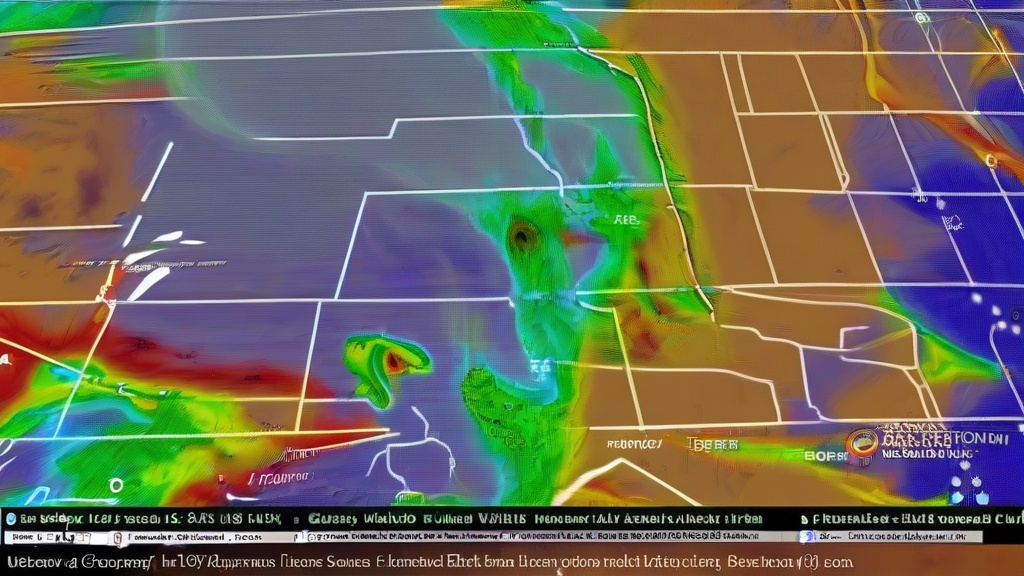
Nowhere is satellite technology's impact more evident than in extreme weather prediction. During Hurricane Ian's approach to Florida in 2022, geostationary satellites provided hourly updates on the storm's eye wall structure and wind speed gradients. This data enabled evacuation orders 48 hours before landfall, potentially saving thousands of lives. Similarly, polar satellites detected atmospheric rivers—narrow corridors of concentrated moisture—over California in 2023, allowing precise flood warnings days in advance. The European Space Agency's CryoSat-2 even measures Antarctic ice shelf thinning, predicting sea level rise impacts on coastal storm surges.
Satellite-derived indices now quantify extreme weather risks. The Accumulated Cyclone Energy (ACE) index, calculated from satellite wind measurements, shows a 40% increase in global hurricane intensity since 1980. The Heat Wave Magnitude Index Daily (HWMId) combines satellite land surface temperature data with humidity measurements to map heatwave severity across continents. These metrics reveal disturbing trends: the 2021 Pacific Northwest heat dome, captured in stark infrared imagery by GOES-17, would have been statistically impossible without human-induced warming. Such findings underscore satellites' role in attributing extreme events to climate change.
Building Resilience: How Satellite Data Informs Climate Adaptation
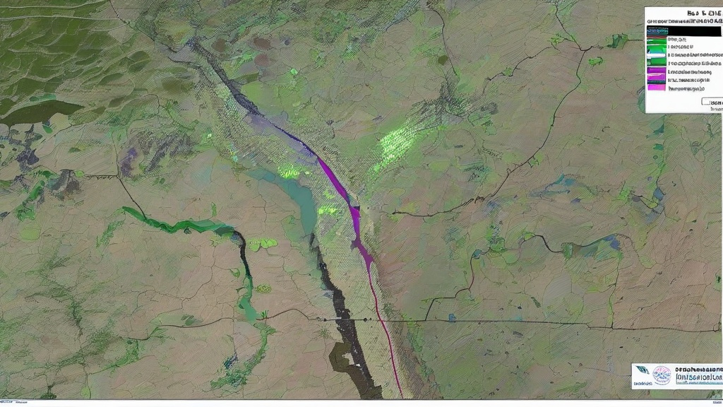
Beyond forecasting, satellite data drives practical climate adaptation. In Bangladesh, flood prediction models incorporating Sentinel-1 radar imagery have reduced cyclone-related fatalities by 75% since 2000. African farmers use satellite-derived vegetation indices to optimize planting schedules amid shifting rainy seasons. Cities like Miami incorporate sea level rise projections from Jason-3 altimetry data into zoning codes, mandating elevated foundations in flood-prone areas. These applications demonstrate how orbital observations translate into life-saving policies on the ground.
The future of climate monitoring lies in satellite constellations. Planned systems like Meteosat Third Generation will offer 30-second refresh rates and 500-meter spatial resolution, capturing storm features previously invisible. The PACE mission will measure ocean color with unprecedented accuracy, tracking phytoplankton blooms that absorb 40% of human CO2 emissions. As artificial intelligence integrates with satellite data streams, real-time climate risk assessments will become routine, empowering communities to adapt proactively rather than reactively. This technological evolution offers hope amid the climate crisis, provided global cooperation maintains and expands Earth observation infrastructure.